If you are looking for an amazing hike near Payson than you should definitely visit Rim Country and explore Horton Creek Trail all the way up to Horton Springs.
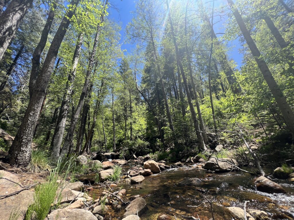
The hike, just 20 minutes from Payson and 1.5 hours from Phoenix, leads you along beautiful streams, through a stunning forest all the way up to the Horton Springs!
The hike is moderate as there isn’t a major elevation gain but it is 8.5 miles round trip. Families should be able to do it but would just plan to pack a lunch and make a day out of it.
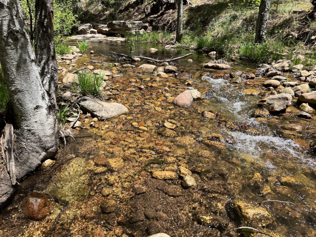
To get the most out of this hike definitely always take the trail along the water, or make your own trail along the creek or in it!
Whenever there is a fork in the road definitely always stay right as much as you can as it is much prettier along the water with more sites and scenery.
Don’t be afraid to get wet as the hike is way better down along the water then if you stay up at the creek the entire time.
The entire place is such an adventure where you can go off trail and explore, take pictures and just enjoy your time as the areas is so pretty!
The trailhead can be a little tricky to find, check out the “Tips” section below to make sure you start it correctly and don’t go the wrong way.
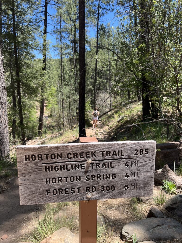
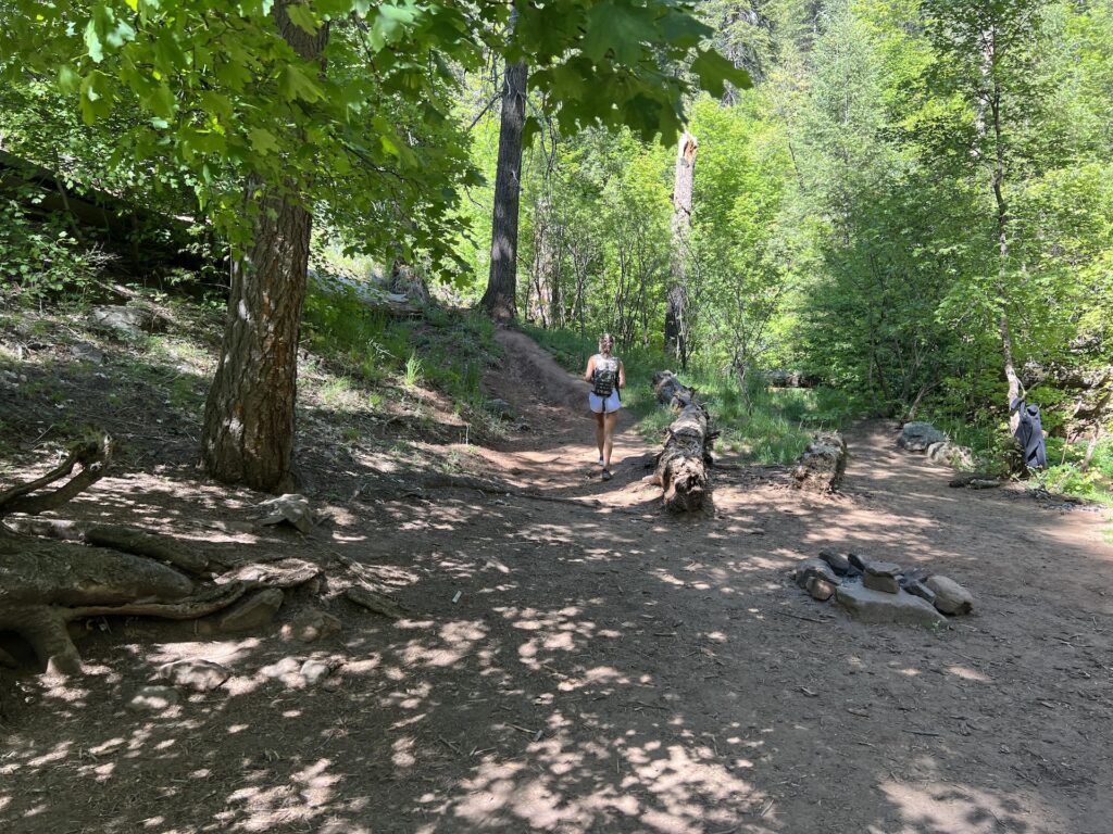
Once you find the trail it is smooth sailing from there as it is the only trail the entire way to the springs and if you get lost just find the creek and the trail is just to the left of the trail the entire way.
It starts to get a little harder the last mile of the hike as you go up more of an incline than the more level hike leading up to it.
Once you get to the end of the trail finding the springs is also a touch confusing. You will run into this sign below directing you to go right to Horton Springs.
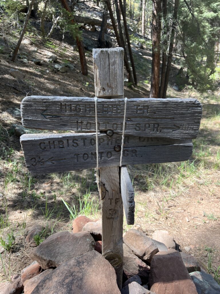
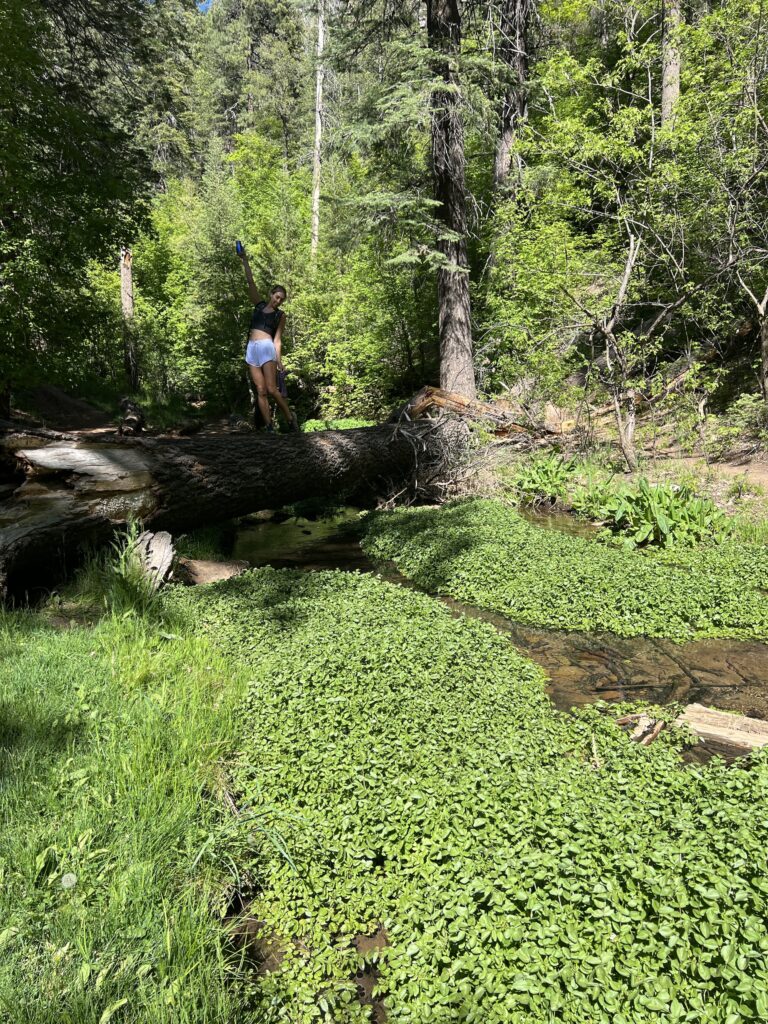
From there you will walk 100 meters or less than a minute where you come to a fork in the road at the stream. Do not go across the log to the other side of the stream.
Instead, go directly left up to the path to the left of the fire pit & large log that is going up the hill & trail to the left staying to the left of the creek.
There are two trails before the creek, the more left one takes you to the main springs, the other one takes you to a smaller set of springs with a pipe coming out of it.
Whichever you choose to go to first, it is just 15 seconds up to the springs from the fork in the road.
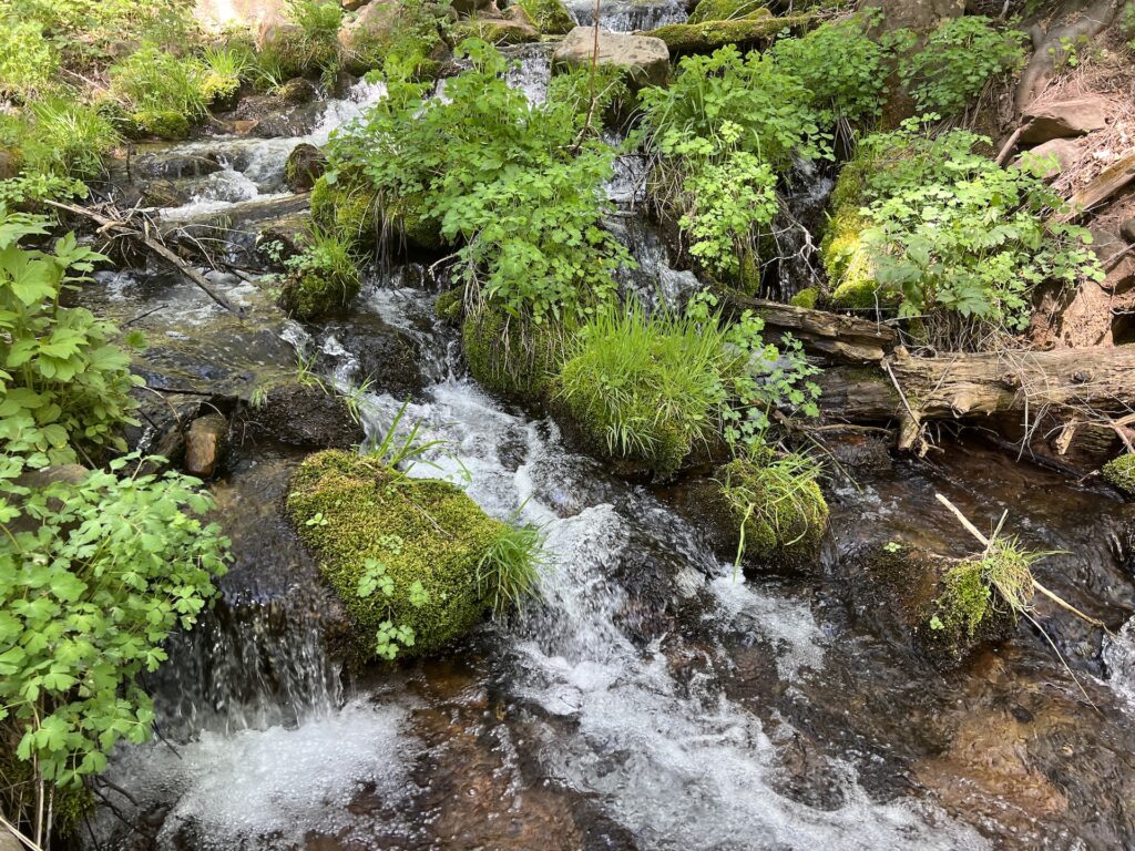
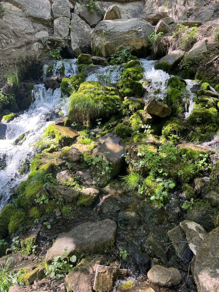
The main springs are on the left of the two, pictured below, are gorgeous and come out of a cool little cave flowing all the way down over mossy rocks and springs.
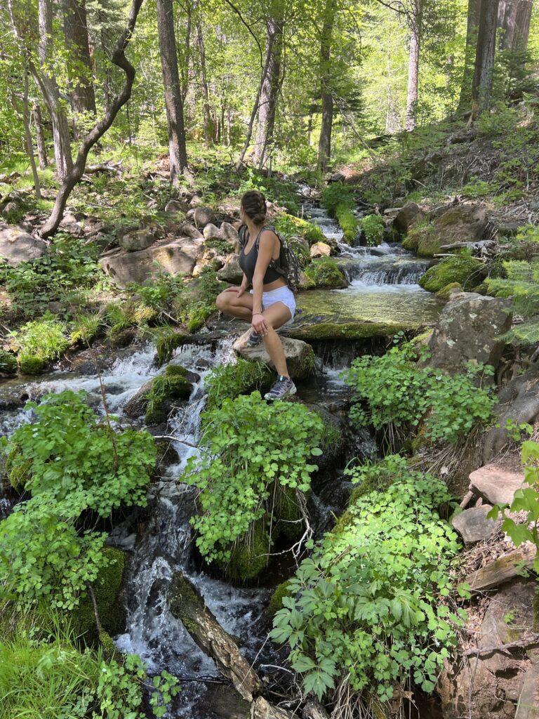
The springs to the right are a little more modest with a pipe coming out of the rock. They are still worth checking out as they are only 10 seconds apart from one another.
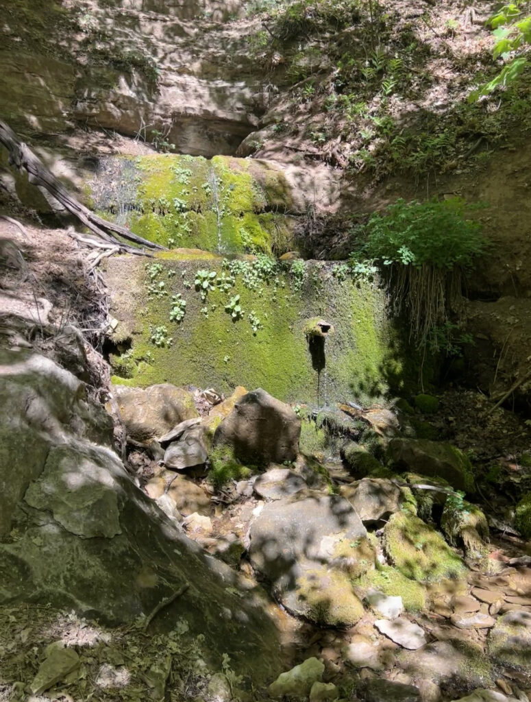
Honestly below the springs, where the fork in the road is, is almost as pretty as the Springs itself. There are so many places to go checkout more of the springs that go all the way down the mountain until it flattens out in the creek.
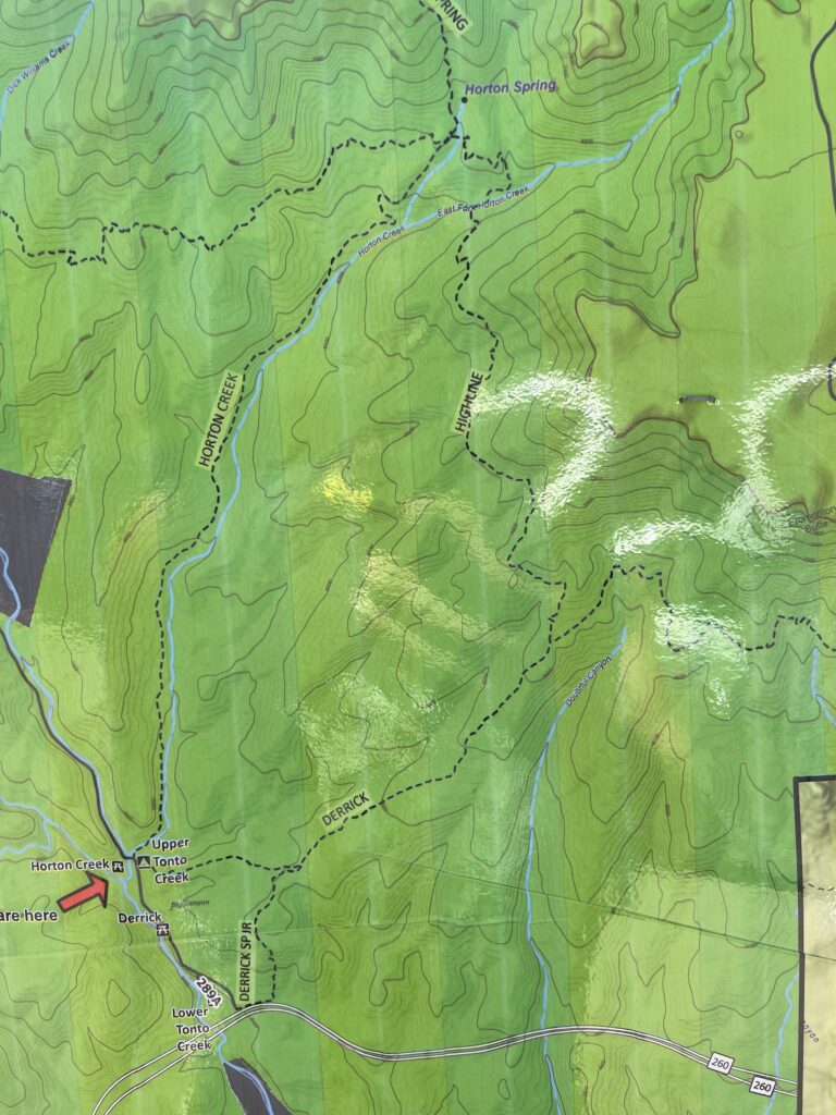
You can make it a loop by adding the more strenuous Derrick Trail to Highline Trail and then back down Horton Creek trail, or visa versa.
It is a lot more elevation gain with ups and downs so if you want something easier and an hour less time, stick to just out and back via Horton Creek Trail. However, if you want more of a challenge definitely do the loop.
The trails are easily marked and you can see the map at the parking lot or posted in this article to see the layout of the trails.
Where To Eat & Drink After Hiking near Payson or Horton Creek?
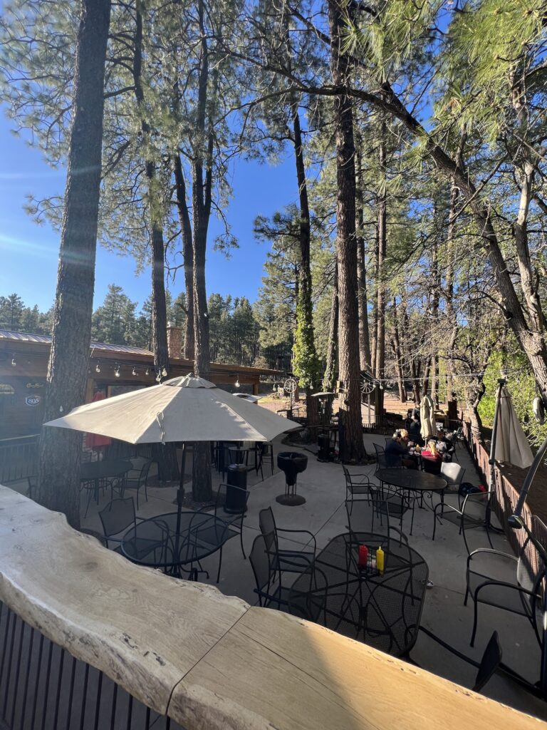
You absolutely have to go to Christopher Creek and sit on the Landmark On The Creek patio. I honestly think it might be my favorite bar in Arizona… maybe second behind Buffalo Chip.
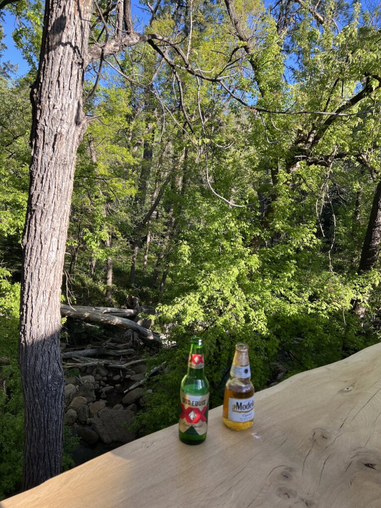
There is not a more serene, large and stunning patio that I have seen in the state. It is the perfect atmosphere, cheap drinks, good food and the best ambiance for a post hike beer!
How Long Is The Hike to Horton Springs?
The hike is 8.5 miles out & back and will take 4-5 hours if you are going at a casual pace with stops for pictures etc.
If you really wanted to knock it out, you could rush it in 3 hours easily or do a trail run in 2 hours or less.
Where is Horton Springs?
Horton Springs is at the end of the Horton Creek Trail #285 or can be found via Highline Trail #31 via Derrick Trail #33.
Most people choose to do the Horton Creek Trail out & back but you can make it a loop via the more strenuous Derrick Trail.
Where is The Horton Creek Trailhead?
Horton Creek Trailhead is just 20 minutes east of Payson and is very easy to find. There is a lot of parking leading up to the trailhead as well as a parking lot and a campground right next to the trailhead.
You can easily use any maps app to find the Horton Creek Trailhead. Be sure to type that in and not Horton Springs for the driving directions.